Pix4D Capture

0 avis

Description Courte

Description

Free drone flight planning app for optimal 3D mapping and modeling

Plan and control drone flights using only your mobile phone

Flexible
Fly multicopter DJI and Parrot drones. Trigger RGB, multispectral and thermal sensors.
Plan and fly your missions online or offline.
Precise
Define the altitude in relation to the GSD you need.
Set camera angle, image overlap and flight speed.
Automatic
Upload images directly from the device to Pix4D software in the cloud for processing.

Simple mission planning for professional aerial mapping

Select your drone

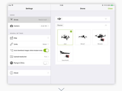
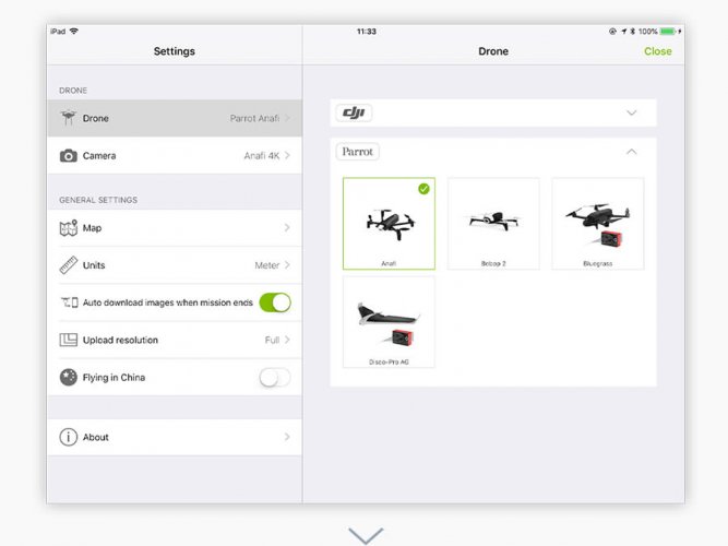
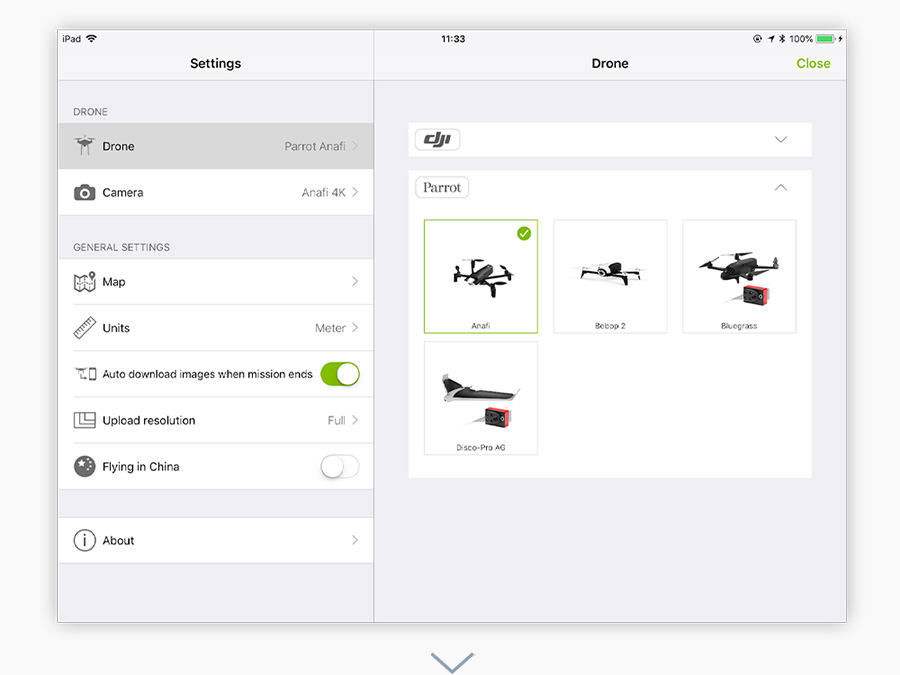
PIX4Dcapture supports drones from DJI, Parrot, and Yuneec, three of the biggest drone manufacturers on the market.

Parrot’s Bluegrass and Disco-Pro AG agriculture tailored drones are exclusively supported by PIX4Dcapture.

Select your drone from the application

Select a mission

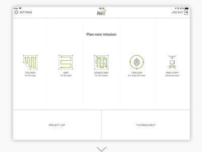
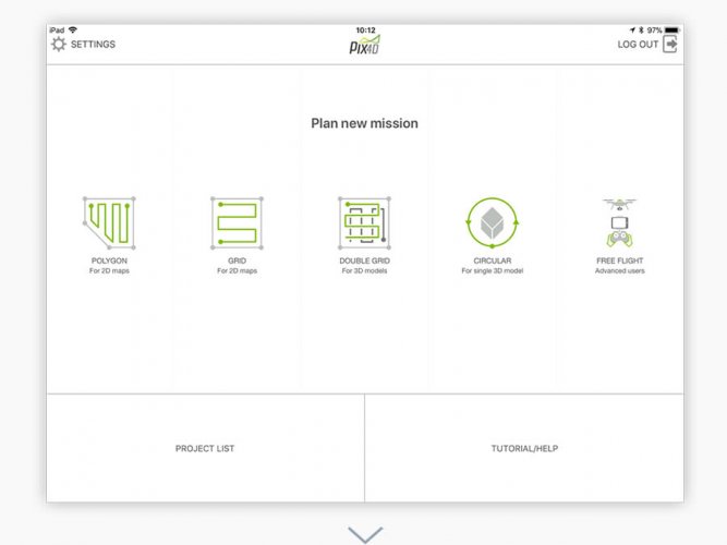
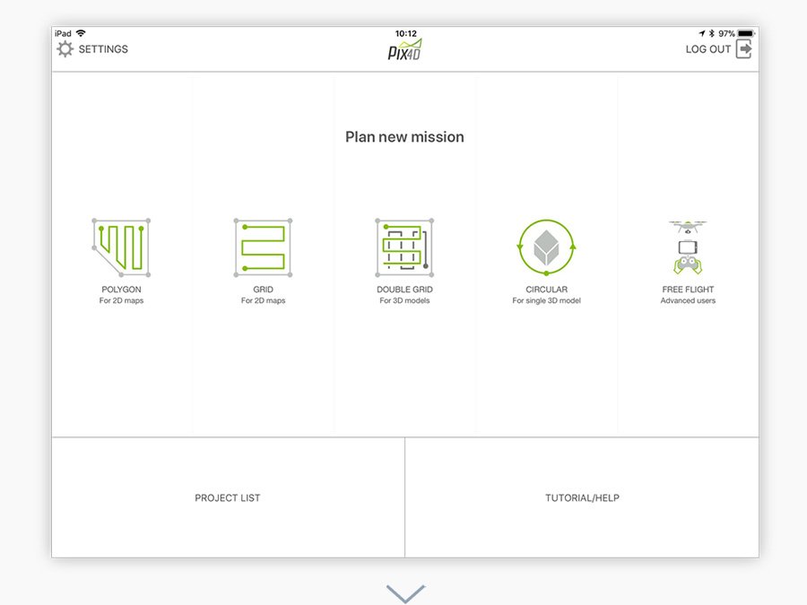
Different missions for different needs. The PIX4Dcapture app comes with five different missions providing you the flexibility you need for your projects.

Select your drone mission from the menu

Adjust your drone flight plan and parameters

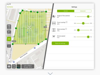
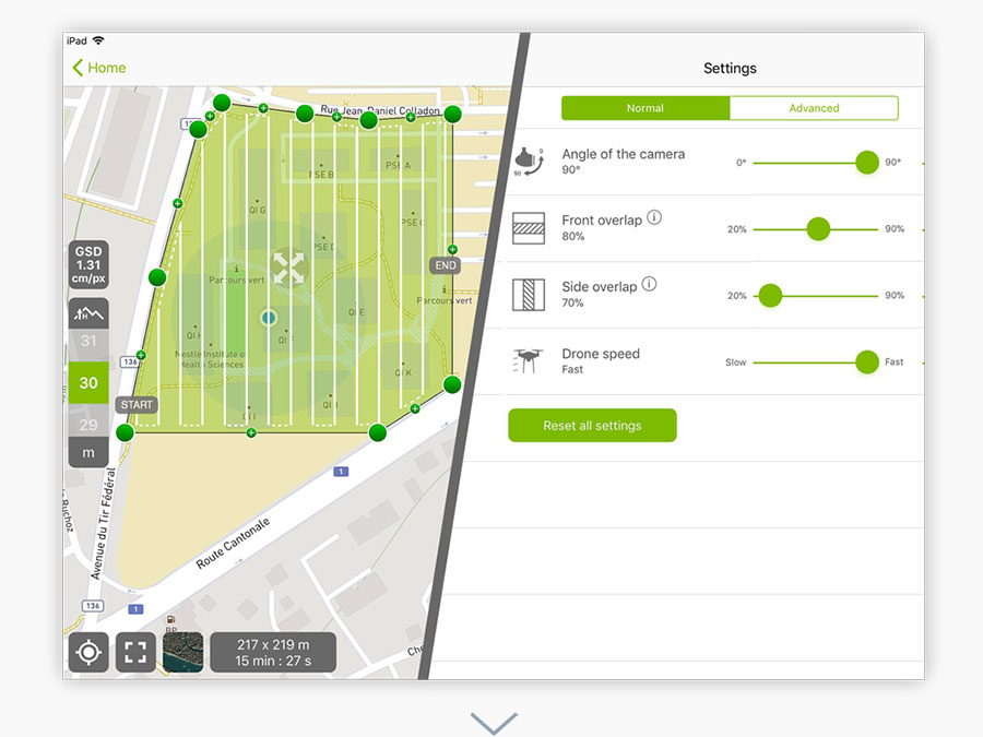
Easily define the size of a mission to map areas of all sizes. Customize mapping parameters like the image overlap, camera angle and flight altitude according to your needs.

Customize drone flight parameters

Start and fly

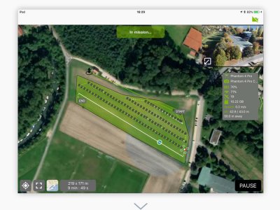
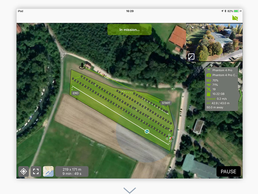
Start the mission and monitor it live using the mapview and camera view.

Mapview provides the live telemetry and includes information such as flight altitude and flight speed. Or choose to watch the live feed with the camera view.

Monitor the drone flight path live with the mapview or camera view

Check the results

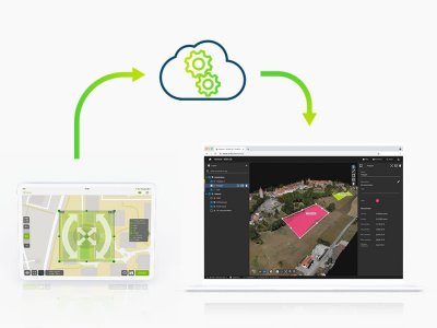
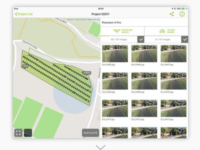
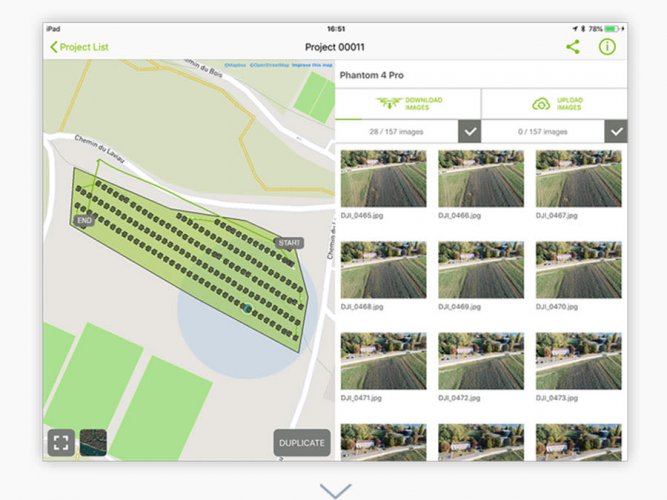
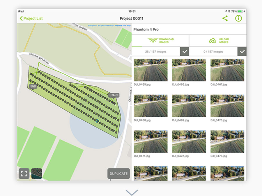
Avoid inconvenient rework by reviewing your mission while still onsite. Check your images directly in the PIX4Dcapture app.

Check results directly in the app while still on site

Spécifications

  • Exporter, Reseller, Software Solutions
  • France, Germany, India, Japan, Spain, Switzerland, United Kingdom, United States of America,
  • Aerial Photography, Archeology & Monuments, Construction & Real Estate, Disaster Management / First responders, Éducation, Environment & Wildlife, Forestry & Agriculture, Infrastructure & Transport, Leisure & Hobby, Mining & Exploration, Power & Utilities, Science & Research, Security & Law Enforcement, Surveillance & Mapping

Vidéos

  • Best video

    Best video

Avis & Discussions

Notez-nous
0 Discussions
Voir tout

Produit ajouté à la comparaison

Autres Produits / Services

Pix4D Capture
Pix4D Capture
Pix4D Capture
Pix4D Capture
Pix4D Capture
Prix: $3,500
Pix4D Capture
Prix: $750

Voir le contact

S3 Tech Solution

Éducation

Bike

Education Institute

Aerial Photography, Construction & Real Estate, Drone Delivery, Éducation, Mining & Exploration, Power & Utilities, Security & Law Enforcement

India

Guam, Guernsey, Guadeloupe, Guatemala, Algeria, India

76433333

sfdfad faf dsfddsf asdfd fsdfa best b2b website sfdfad faf dsfddsf asdfd fsdfa best b2b website sfdfad faf dsfddsf asdfd fsdfa best b2b website sfdfad faf dsfddsf asdfd fsdfa best b2b website

Contacter le vendeur / Demander un devis

Pix4D Capture
Pix4D Capture
- +
superman22 Education Institute