- Subscription Plans
- Favorite
- Help
-
 English
-
English
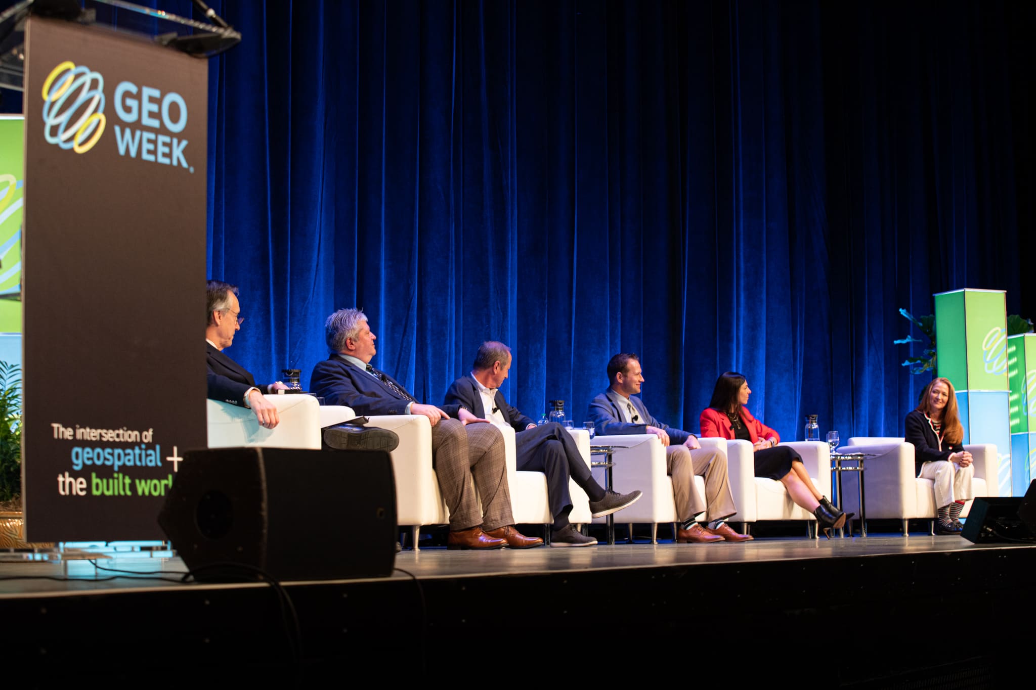
Geo Week is the premier event for increased integration between the built environment, advanced airborne/terrestrial technologies, and commercial 3D technologies. It was created as a response to the changing needs of built world and geospatial professionals, and to acknowledge the convergence of technology taking place currently.
New technological innovations, the need for remote workflows, and hardware breakthroughs are redefining expectations across teams, organizations, and entire industries. Geo Week is at the center of it all.
Go to WebsiteGeo Week: The next step in the evolution of the International Lidar Mapping Forum (ILMF), SPAR 3D Expo & Conference and AEC Next. Created in response to the changing needs of built world and geospatial professionals, and to acknowledge the increasing convergence of technology. Geo Week’s conference program and tradeshow floor feature commercial applications of 3D technologies, innovations and case studies in the built environment, advanced airborne and terrestrial remote sensing solutions, smart products for a full project team and much more!
New technological innovations, the need for remote workflows, and hardware breakthroughs are redefining expectations across teams, organizations, and entire industries. Geo Week is at the center of it all.
See Event DetailsIndustries Served
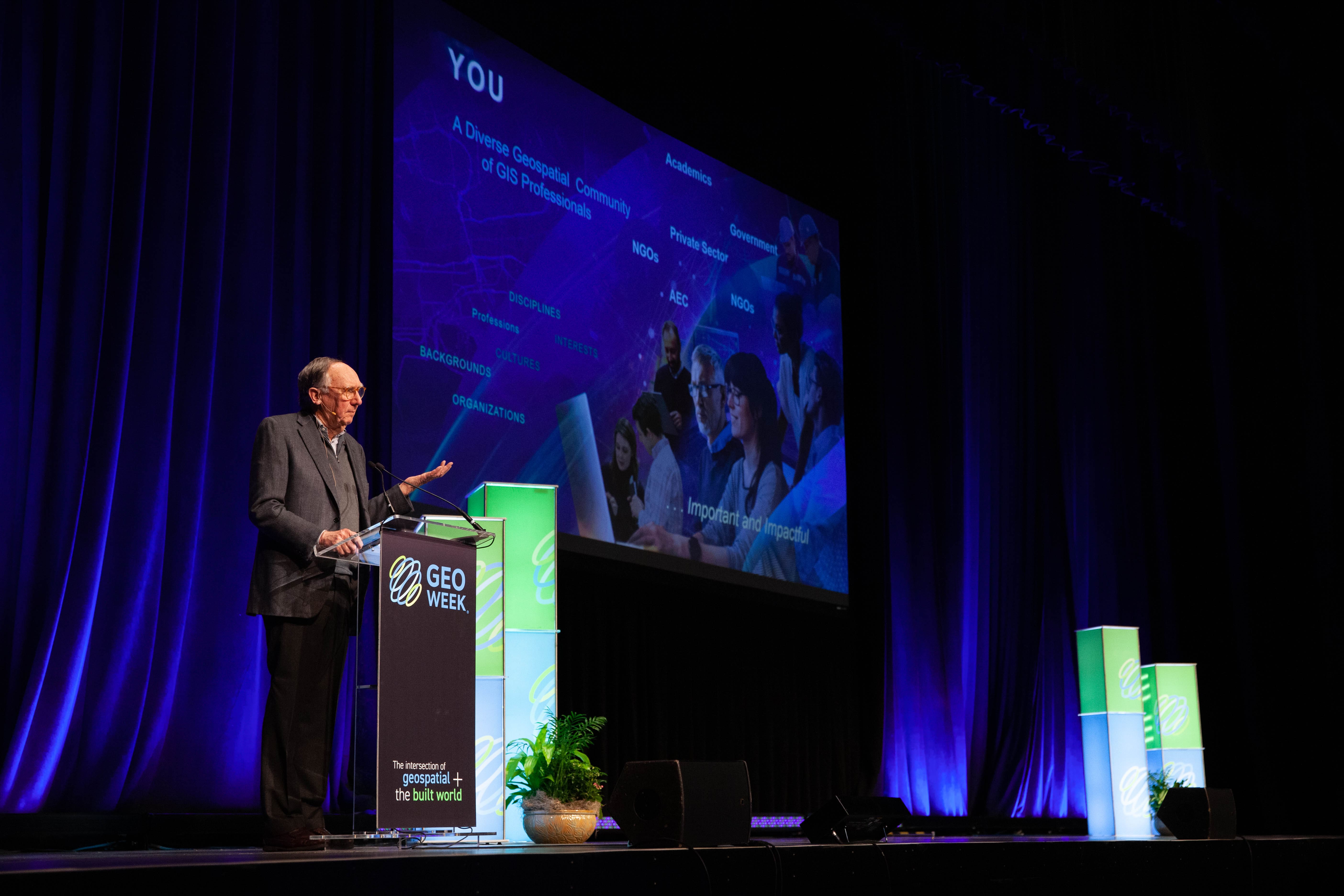
Welcome to Geo Week, the intersection of geospatial + the built world. Geo Week is the premier event for increased integration between the built environment, advanced airborne/terrestrial technologies, and commercial 3D technologies. The combined conference program and tradeshow floor will feature commercial applications of 3D technologies, innovations, and case studies in the built environment, advanced airborne and terrestrial remote sensing solutions, smart products for a full project team, and much more!
NETWORKING
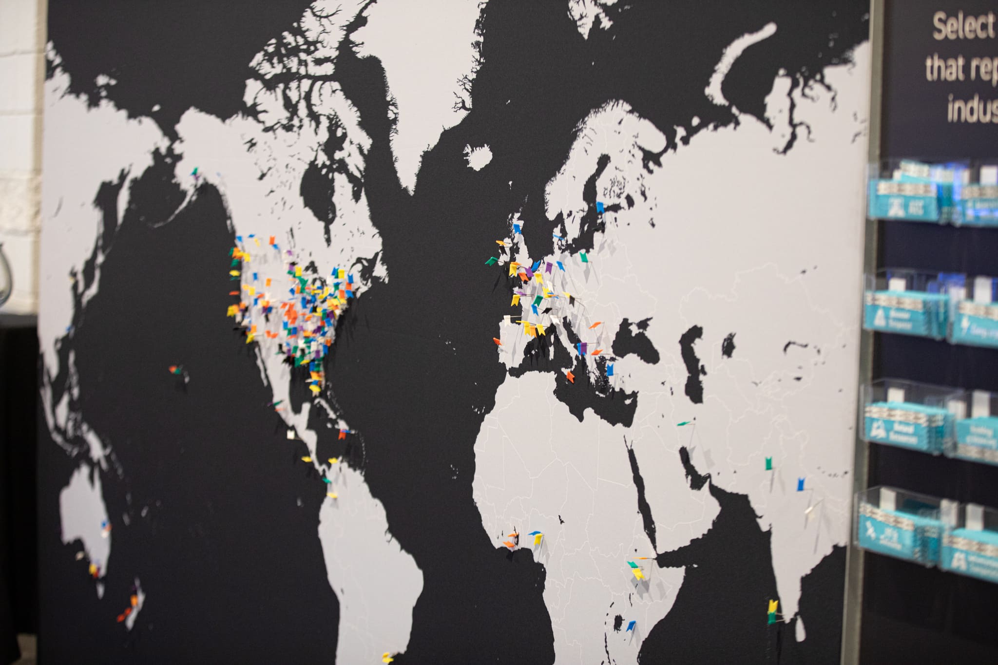
All of the right people... 300 of them. End-users, regulators, service providers, solutions providers, and more. If they work in the geospatial or built world, they’ll be here. They know Geo Week is where connections are forged, deals are made, and the industry comes together to drive its future.
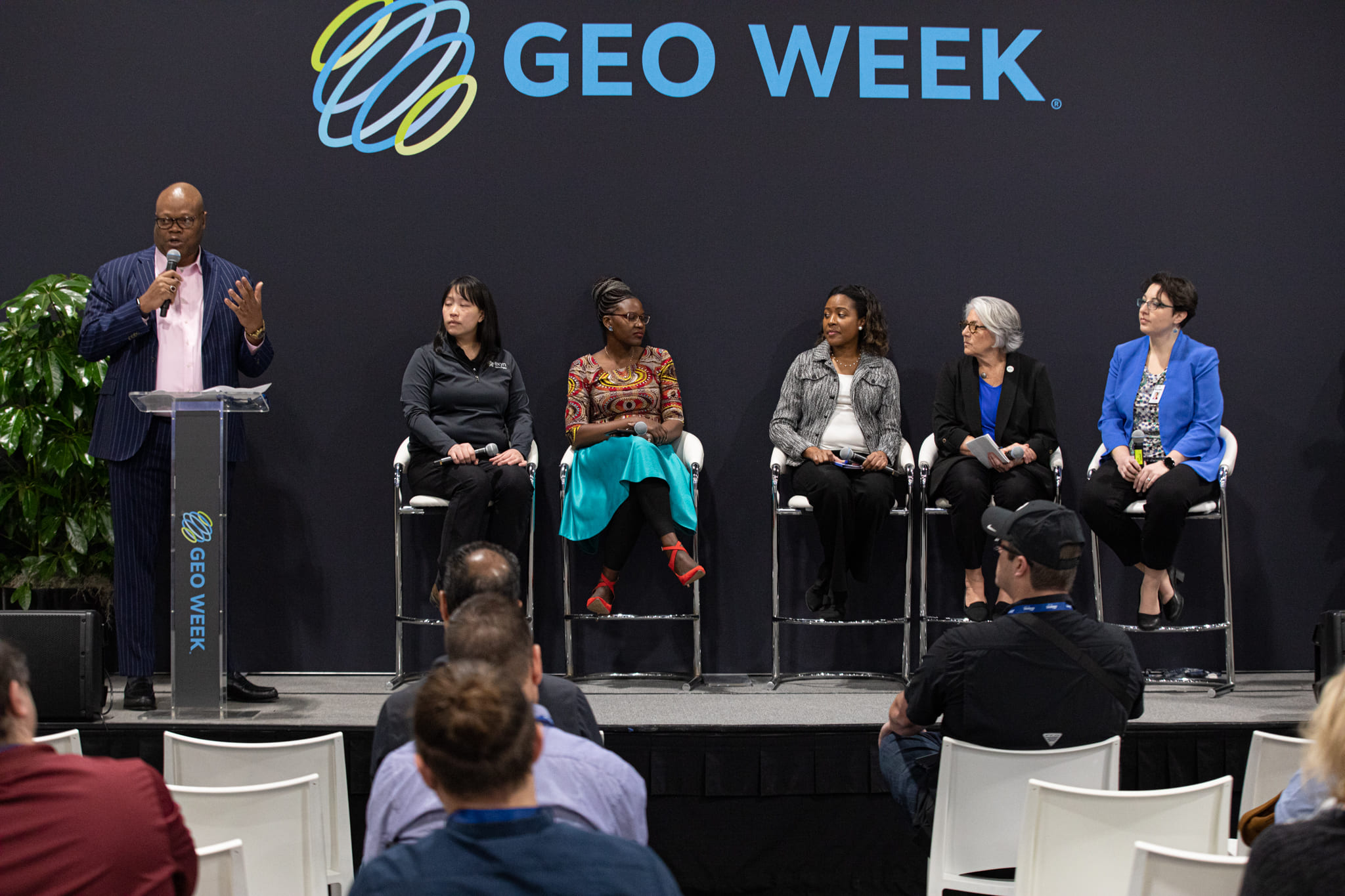
EDUCATION
You’ll have the opportunity to learn from professionals and technology leaders who understand the full spectrum of data needs, work processes, software integration and standards in both the geospatial and BIM worlds.
BEST-IN-CLASS SOLUTIONS
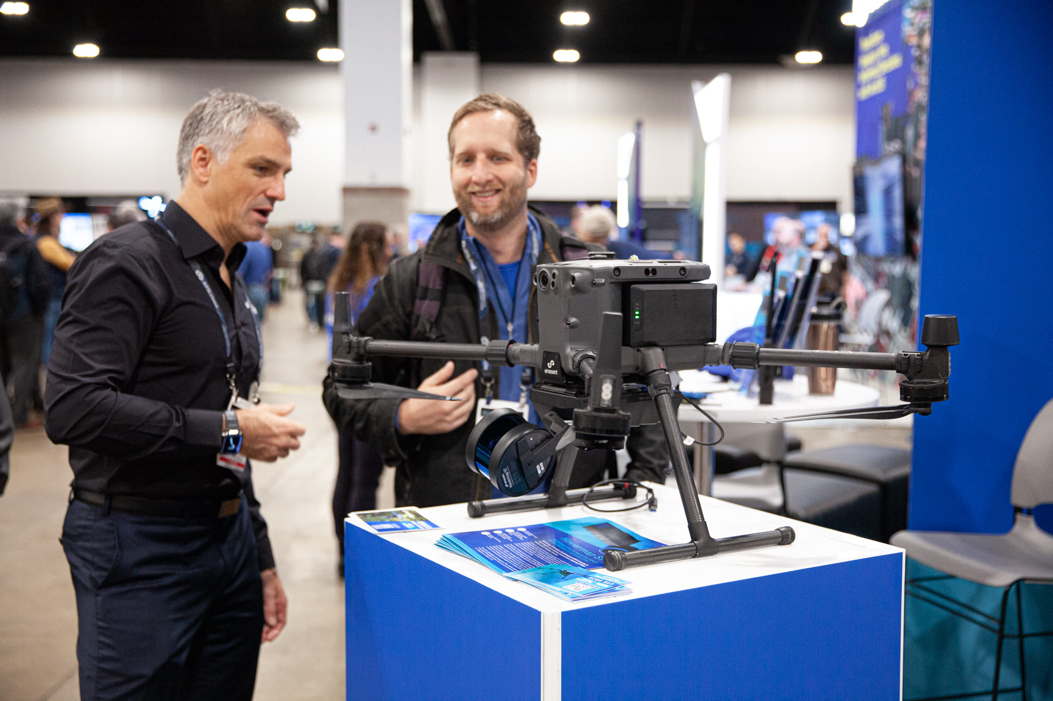
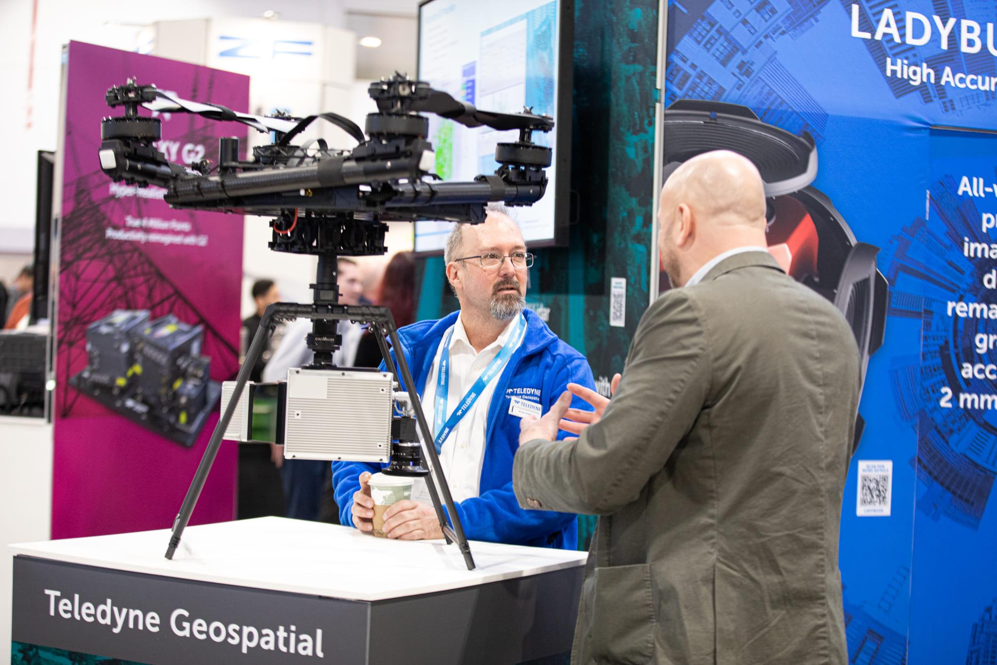
200 Exhibitors. An exhibit hall brimming with the newest geospatial and built world products and solutions to qualify and compare. Hundreds of technical leads and users to pose questions of and engage with. There’s no better place to discover the best tools and how to maximize them.
KEYNOTE SPEAKERS
What’s now and what’s next? Where is the industry at this moment? What lies ahead? Geo Week convenes industry thought leaders who will share their expertise and provide essential insights, context and solutions in a series of can’t-miss keynote presentations.
WORKSHOP
Technical training to advance your career for anyone looking for hands-on training or demos related to the latest airborne, terrestrial, and underwater lidar technologies will find workshops and trainings from leading 3D and AEC solutions providers.
EVENT PARTNERS
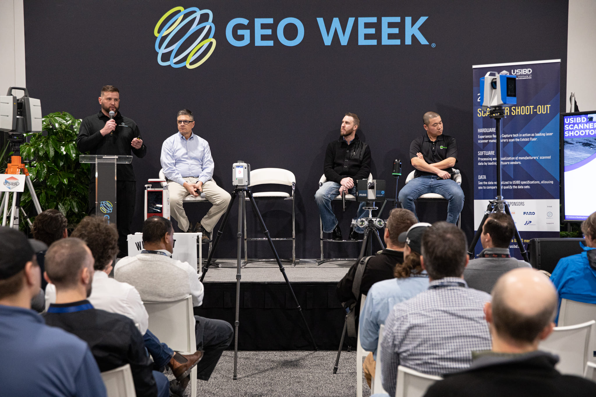
Powerful partnership with ASPRS and more. Geo Week is proud to host partner events including ASPRS Annual Conference and workshops, USIBD Laser Scanning Event, and a collaborative plenary session in partnership with MAPPS and WGIC.
Amar Nayegandhi, Global Head of Technology and Innovation at Woolpert
Chris Parrish, Professor at Oregon State University
Bluebird 2G
Canserina Kurnia, Lead Solution Engineer at Esri
David Wright, Lead Solution Engineer at Esri
Dr. Qassim Abdullah, VP & Chief Scientist at Woolpert
Dr. Mohamed M.R. Mostafa, Lead Technical Authority, Mobile Mapping at Trimble
Bluebird 2A
Bluebird 1A
Oscar Duran, Senior Geomatics Analyst at Towill
Ayman Habib, Thomas A. Page Professor in Civil Engineering at Purdue University
Bluebird 2G
Michael Bartholomew, Director at Atwell LLC
Dr. Youssef O. Kaddoura, Geomatics Specialist at University of Florida
Adan Banda, Sr. Geospatial Data Manager at Dallas Fort Worth International Airport
Tarini Shukla, Sr. Geospatial Analyst at Dallas Fort Worth International Airport
Kelly Watt, Sr. Digital Twin Consultant at Dallas Fort Worth International Airport
Bluebird 2E
Dr. Qassim Abdullah, Vice President & Chief Scientist for Woolpert
Dr. Tao Liu, Assistant Professor in Remote Sensing and GIS at Michigan Technological University
Bluebird 3C
Oscar Duran, Senior Geomatics Analyst at Towill
Harold Rempel, Senior Geospatial Project Manager at ESP Associates
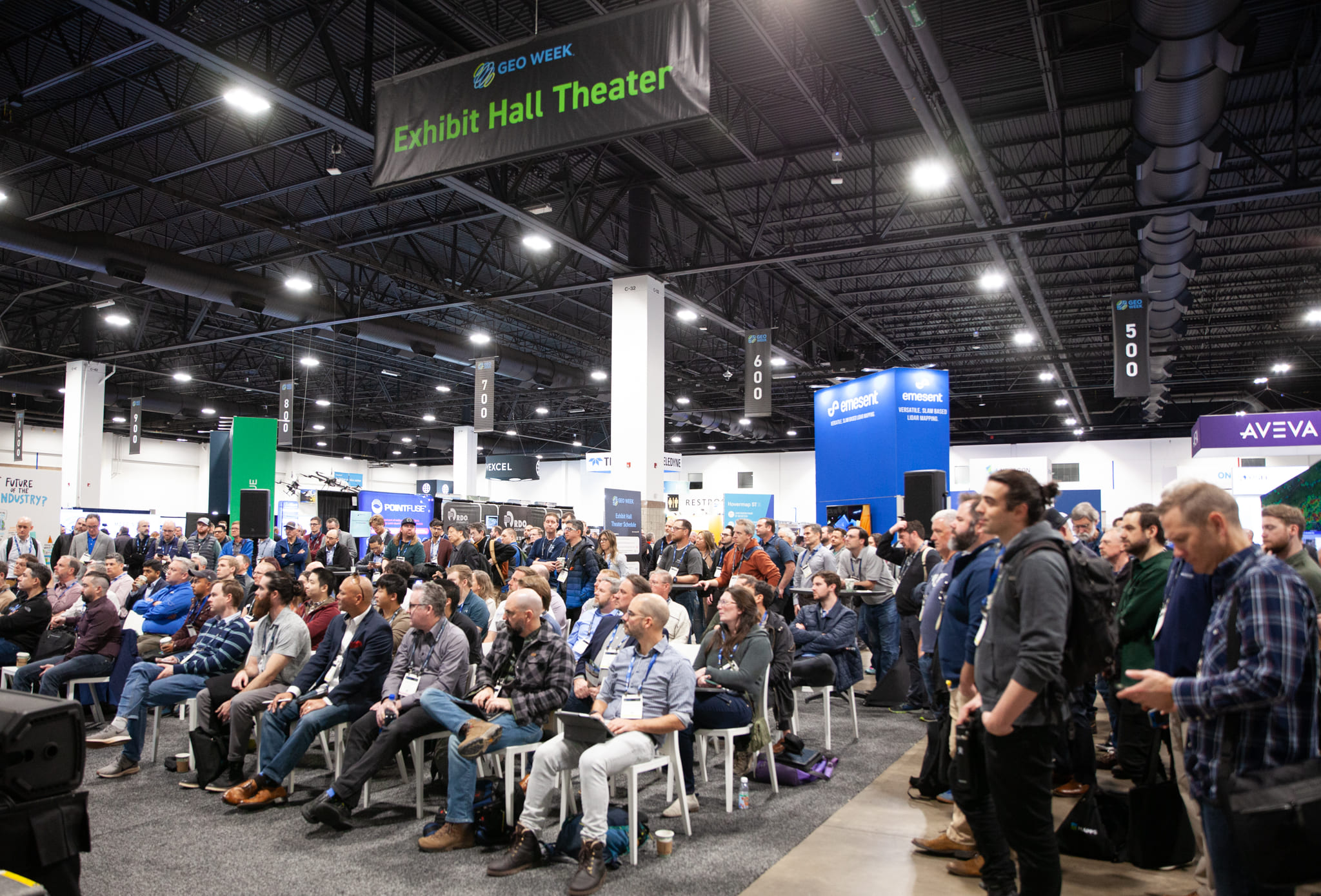
Exhibit Hall Theater
Christopher Kercheval, Central Support Specialist in the Reality Capture division of Leica Geosystems
Alex Hanna, Founder and CEO of STRIVE
Pete Kelsey, Owner of VCTO Labs LLC
Mack Kowalski, CEO of LiDAholics
Leo Zhang, Virtual Construction Manager at The Conco Companies
Exhibit Hall Theater
Barry Bassnett, Owner and Founder of RICHPiX 360
Christopher Kercheval, Central Support Specialist in the Reality Capture division of Leica Geosystems
Mack Kowalski, CEO of LiDAholics
Bluebird 1B
Shawana Johnson, CEO of Global Marketing Insights, Inc.
Aaron Addison, Executive Director of World Geospatial Industry Council (WGIC)
Kelly Francis, Co-President of Aero-Graphics.
Karen Schuckman, Executive Director of ASPRS
Jessica Touchard, CEO of Geosearch
Ted Parisot, Co-founder of Helios Visions
Michael Rubloff, Founder and Managing Editor of Radiance Fields
Ben Stocker, Senior Construction Technologist at Skender
Sean Young, Director of AECO, Geospatial, and AI Solutions Industry Marketing at NVIDIA
Khrystyna Bezborodova, Feature Extraction Product Manager at Trimble
Eddie Fossler, Technical Expert at Olsson
Sam Griffiths, Digital Solutions Market Lead at Jacobs ANZ Digital Solutions
Michael Harvey, Reality Capture Senior Product Manager at Leica Geosystems, part of Hexagon
Lisa Patterson, Director of Software Product Management for NavVis GmbH
Exhibit Hall Theater
Darrick Wagg, Vice President of Customer Success
Exhibit Hall Theater
Dr. Mohsen Miri, Director of Strategic Partnerships at Phase One
Dr. Mohamed M.R. Mostafa, Lead Technical Authority, Mobile Mapping at Trimble
Konrad Wenzel, Director of the Esri R&D Center in Stuttgart
Bluebird Nook
Shawana Johnson, CEO of Global Marketing Insights, Inc.
Kelly Francis, Co-President of Aero-Graphics
Aaron Addison, Executive Director of World Geospatial Industry Council (WGIC)
Karen Schuckman, Executive Director of ASPRS
Jessica Touchard, CEO of Geosearch
Jim Gillis, Professor, Land Surveying and Geospatial Technology at Dallas College
Jamie Gillis, Vice President of vGeoTerra Surveying & Mapping LLC
Monica Chism, Program Manager at NV5 Geospatial
Dr. Srini Dharmapuri, Chief Scientist at The Sanborn Map Company, Inc.
Exhibit Hall Theater
Jay Armbrust, UAS Operations Manager in the Colliers Engineering & Design
Hayden Howard, Executive Vice President at CompassData
Konrad Wenzel, Director of the Esri R&D Center in Stuttgart
Ashley Crowder, CEO and Co-Founder of VNTANA
John Niles, Technology Consultant at Accenture
David Stone, Northeast VDC Leader at DPR Construction
Chase Walker, Senior Simulations Engineer at Astec Industries
Adan Banda, Sr. Geospatial Data Manager at Dallas Fort Worth International Airport
Tarini Shukla, Sr. Geospatial Analyst at Dallas Fort Worth International Airport
Kelly Watt, Sr. Digital Twin Consultant at Dallas Fort Worth International Airport
Dr. Qassim Abdullah, Vice President & Chief Scientist at Woolpert
Kevin Ahlgren, Geodesist at NOAA National Geodetic Survey
Linda Foster, Director, Land Records/Cadastre Solutions at Esri
Dr. Dan Gillins, Supervisory Geodesist at NOAA National Geodetic Survey
John Nolte, Director of Enterprise IT at Denver Water
Balaji Ramachandran, Geomatics Professor, Department of Applied Sciences at Nicholls State University
Galen Scott, Constituent Resources Manager - Geodetic Services Division at NOAA/NGS/NOS
Exhibit Hall Theater
Thomas Czerniawski, Applied Machine Learning Scientist at Integrated Projects Technology Inc.
Level Up Lounge