- Subscription Plans
- Favorite
- Help
-
 English
-
English

The Commercial UAV Expo is the foremost gathering for professionals dedicated to advancing commercial drone and UAS (Unmanned Aircraft Systems) technology, offering an unparalleled platform for discovery, collaboration, andprofessional growth at Caesars Forum in Las Vegas.
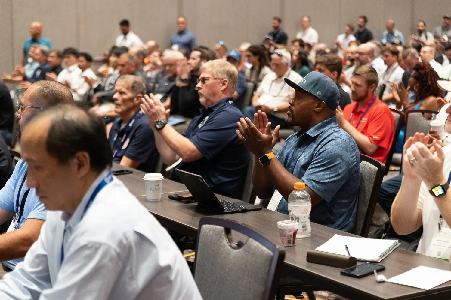
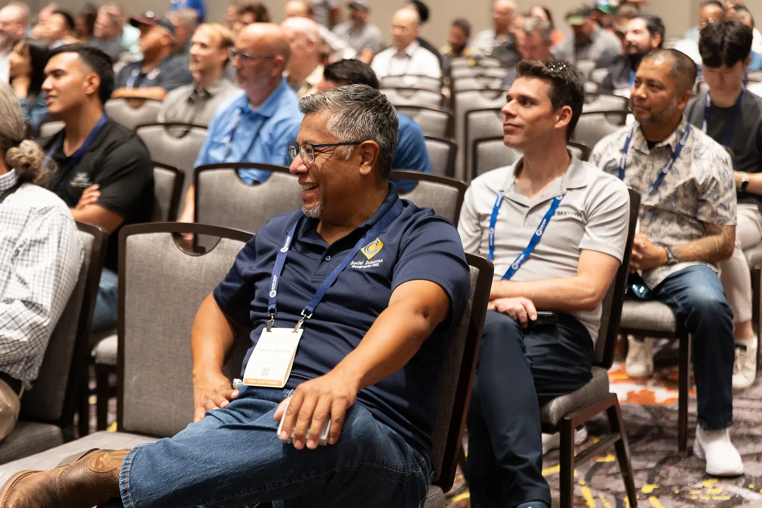
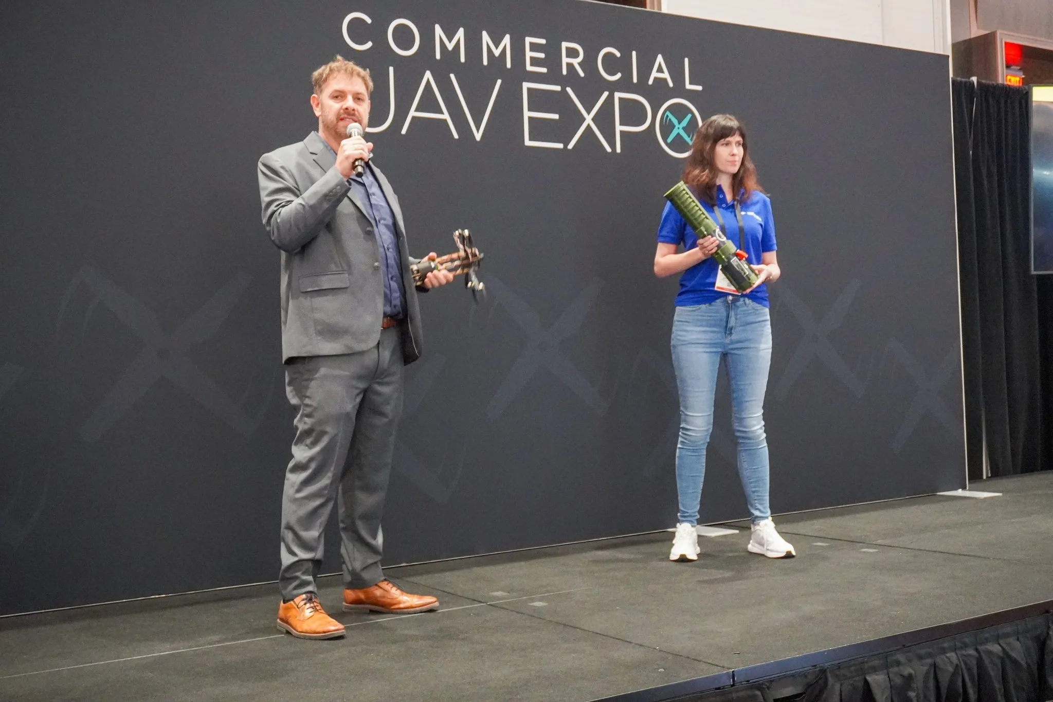
The event hosts thousands of industry experts and top companies from around the world, presenting the latest technology, facilitating business relationships, and delivering education tailored to the evolving needs of the drone sector.
Go to WebsiteCommercial UAV Expo is designed to connect the global drone community with actionable insights, hands-on learning, and market-driven innovation. This year’s program introduces expanded learning opportunities, including a new partnership with Pilot Institute. Togeth-er, they will offer in-depth courses, workshops, and a dedicated “Pilot Hub” on the exhibit floor, equipping pilots of all levels with live instruction, digital modules, and industry-specific skills training. Another debut feature is the Public Safety Summit, organised by AIRT, which focuses on real-world solutions, best practices, and collaborative learning for those working in law enforcement, fire, and emergency response.
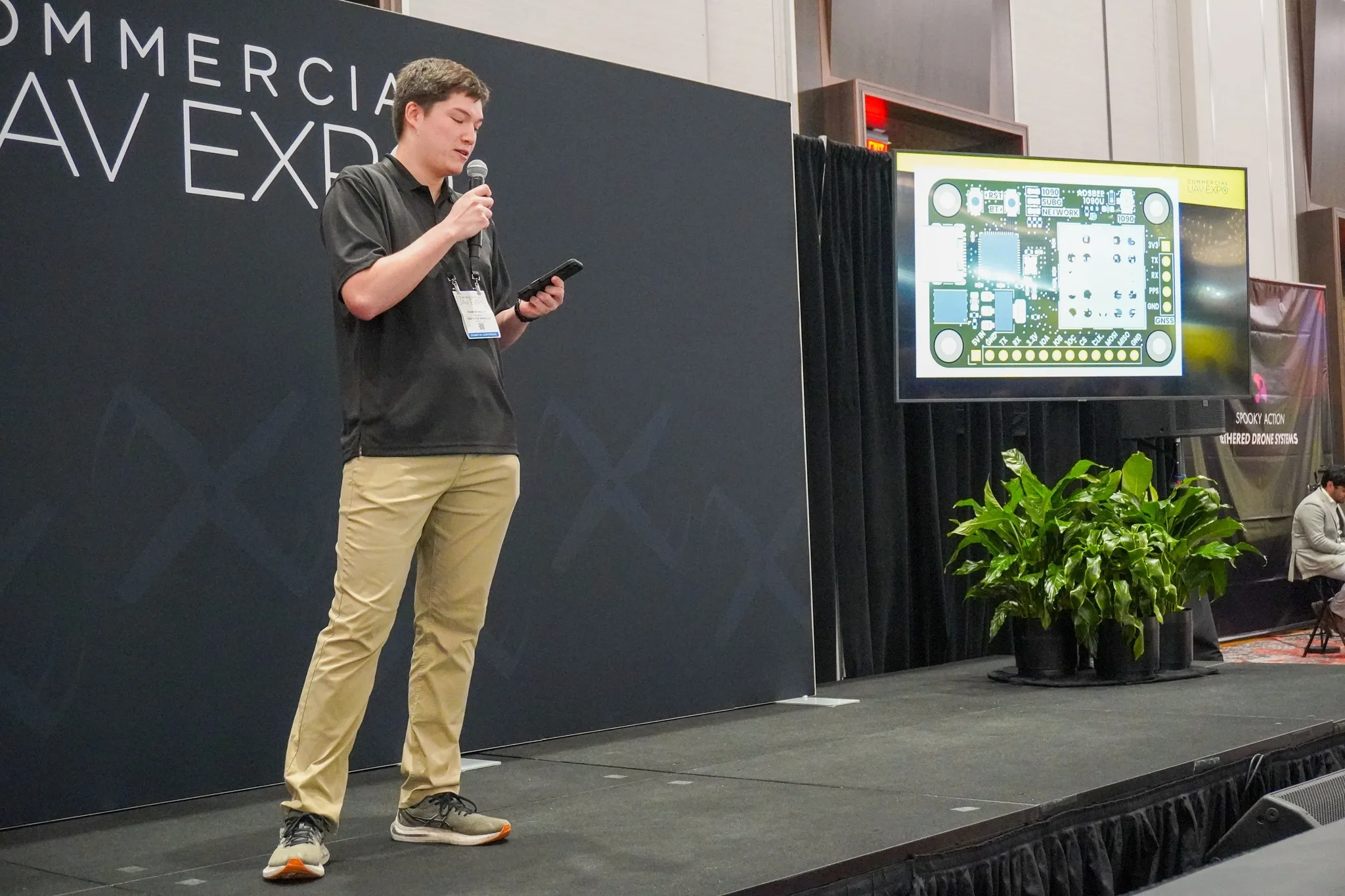
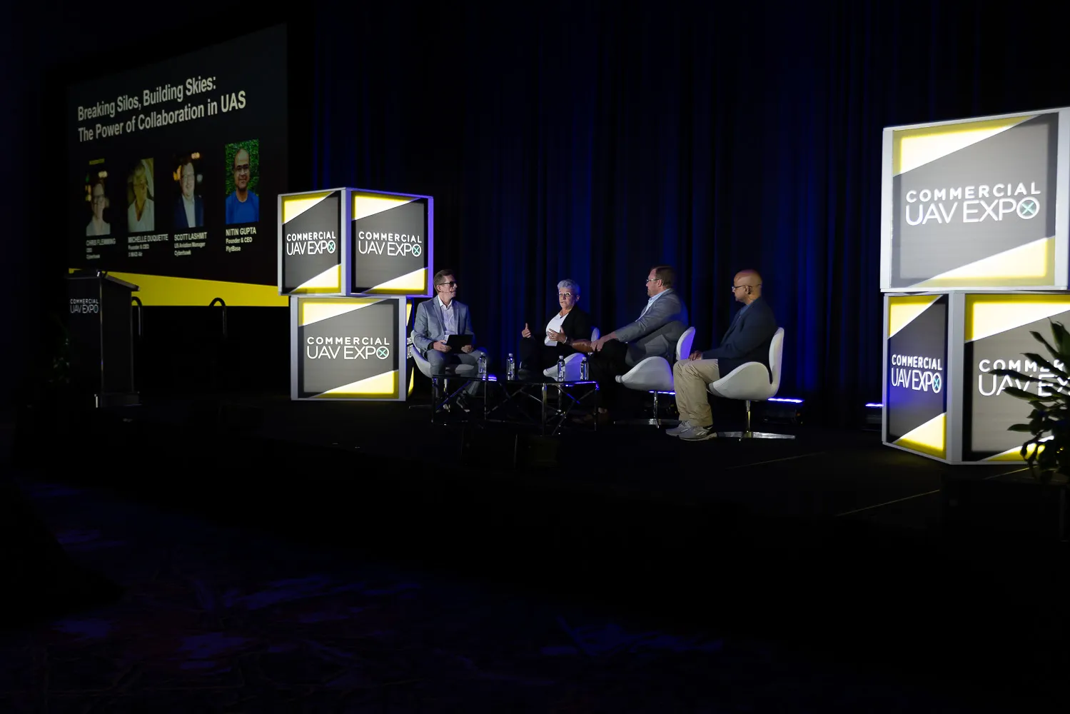
The conference schedule incorporates keynote addresses, panel discussions on regulatory trends such as BVLOS rule changes, and interactive demo zones like Indoor Airspace, where the latest UAV hardware and software applications can be experienced.
Commercial UAV Expo serves as an incubator for visionaries, regulators, and frontline op-erators, enabling participants to address contemporary challenges, witness emerging technology, and capture new opportunities in the rapidly growing commercial drone eco-system.
See Event DetailsCommercial UAV Expo welcomes a diverse group of professionals engaged in every aspect of commercial drone operations, from piloting and project management to technology de-velopment and regulatory oversight. Attendees represent sectors such as energy, utilities, construction, infrastructure, transportation, public safety, surveying, and data analytics—bringing together expertise from private enterprise, public agencies, and specialist service providers.
This year, the event distinguishes itself with tailored content tracks, including sessions dedicated to the latest FAA Part 108 BVLOS rulemaking, hands-on education via industry partnerships, and expanded opportunities for collaboration through networking events and workshops. Features such as the Pilot Hub, Public Safety Summit, and demonstration zones provide targeted experiences for participants at different stages in their professional journey, whether building a new drone program, refining operational workflows, or intro-ducing advanced UAS technologies.
Attendees can explore practical applications that are transforming industries—from opti-mising energy inspections and streamlining construction processes to enhancing safety in infrastructure and public services. The program highlights real-world use cases, technical solutions, and evolving regulatory landscapes. With content ranging from high-level strat-egy sessions to hands-on training modules, Commercial UAV Expo delivers meaningful value for individuals and organisations seeking to advance their expertise, operational effi-ciency, and leadership in the global drone market.
Commercial UAV Expo 2025 offers an unmissable opportunity to explore the most innova-tive and effective commercial drone solutions available today. The event brings together hundreds of industry-leading companies and their latest technologies, allowing attendees to evaluate and engage with experts to identify the best fit for their specific needs. From deep-dive educational sessions focusing on critical verticals to real-world live demonstra-tions and increasingly relevant regulatory insights, visitors will find value at every turn. The event also fosters rich networking opportunities, connecting attendees with peers, regula-tors, and sector leaders to build impactful relationships that drive the commercial drone industry forward.
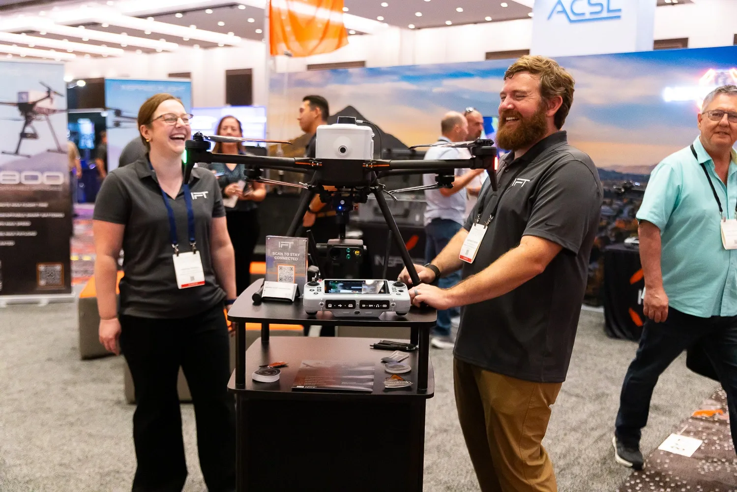
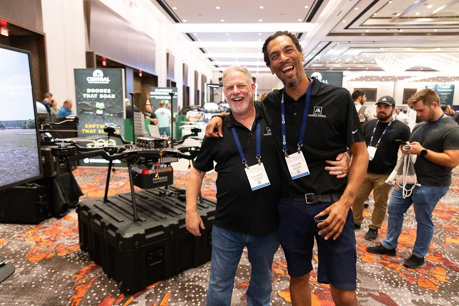
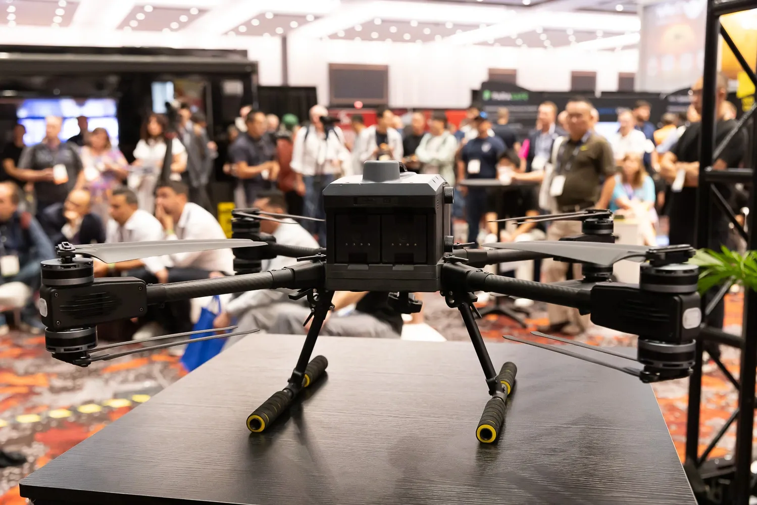
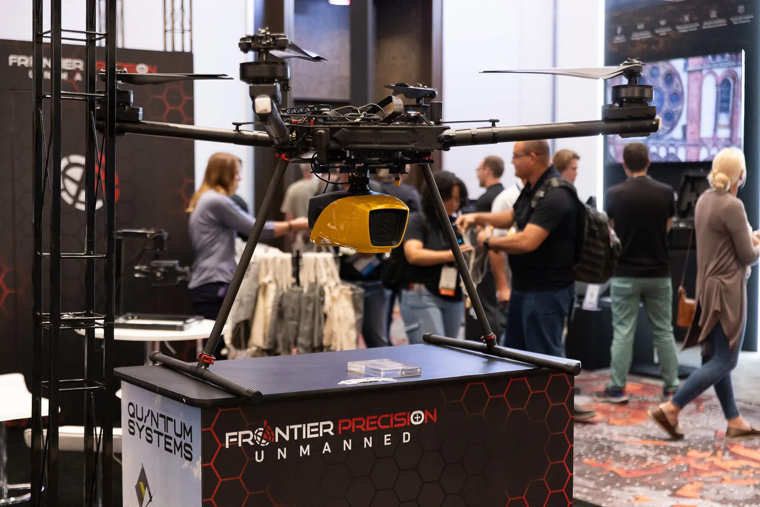
• Extensive exhibit hall filled with over 225 exhibitors showcasing cutting-edge UAS technologies
• Dedicated vertical market tracks including construction, energy & utilities, infra-structure, transportation, and public safety
• In-depth conference sessions exploring current industry challenges, regulatory changes, and future innovations
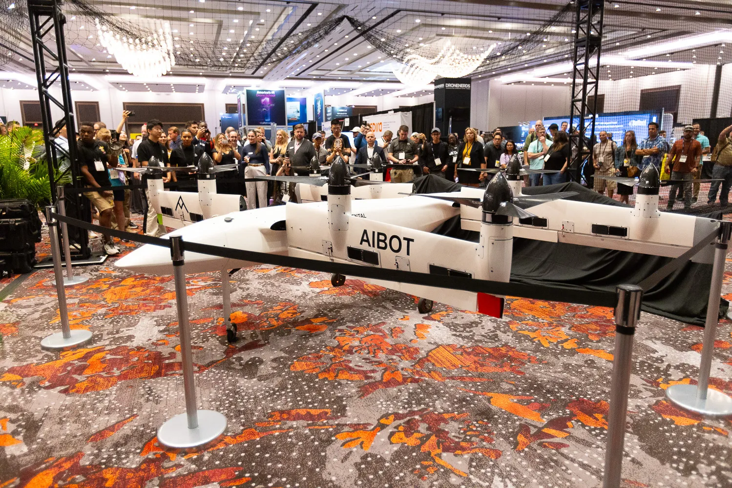
• Live drone flight demonstrations highlighting real-world applications and advanced data analytics
• Exclusive drone pilot training and workshops in partnership with Pilot Institute, de-signed for skill development at all levels
• Networking events, including receptions and collaborative workshops for profes-sional growth and partnerships
• Up-to-date industry insights and regulatory updates, including discussions around FAA Part 108 BVLOS rulemaking
Drone surveying does not end with photogrammetry! Learn how to create CAD models, volumetric calculations and reports, or machine control files. Deliverables that are lightweight and client ready.
Room 405-406
This workshop teaches the fundamentals of creating controlled map products and 3D models from UAS-mounted camera systems. Participants will learn to successfully design projects in accordance with ASPRS Positional Accuracy Standards, including flight planning, ground control placement, camera calibration, block adjustment, product generation, quality control, and accuracy assessment.
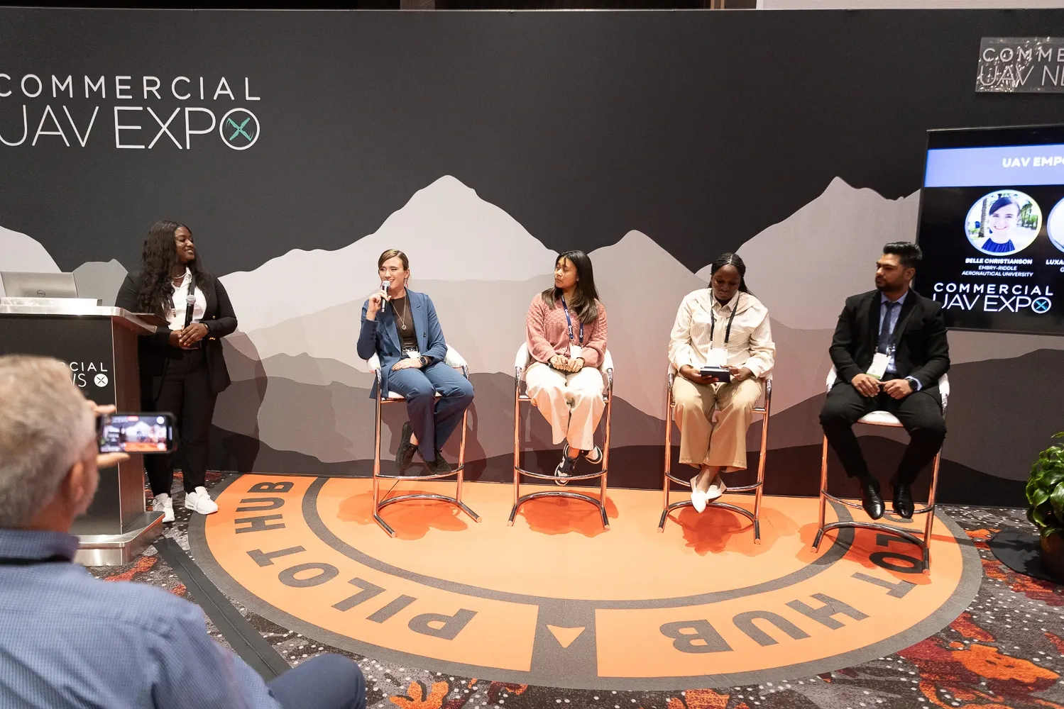
Join this workshop, featuring four master sessions and a Q&A with Pilot Institute subject experts on the critical topics you need to know, and then continue the conversations at the VIP networking lunch. Topics include the latest information about waivers, education, business development, and industry advances.
Greg Reverdiau, Co-Founder & Lead Instructor at the Pilot Institute
Amy Wiegand, CEO & Founder of Earhart Alden & Associates
Greg Reverdiau, Co-Founder & Lead Instructor at the Pilot Institute
Jared Janacek, Founder & President of Texas Drone Company
Vic Moss, Owner of Moss Photography
Unity Boardroom
This course will include:
Academy Ballroom
Academy Ballroom
This workshop is designed to guide participants through the full lifecycle of digital twin creation using DJI’s enterprise ecosystem. From understanding mission goals to generating and refining detailed 3D models, attendees will gain a practical and strategic understanding of each phase of the process.
Unlock the full potential of LiDAR with GeoCue in this hands-on, four-hour workshop at Commercial UAV Expo. Whether you’re scanning from the air, mapping from the road, or capturing complex spaces by hand, our complete ecosystem of TrueView LiDAR hardware, paired with the powerful LP360 software, equips you to manage every step of the mapping workflow.
Room 405-406
This workshop teaches the fundamentals of creating controlled map products and 3D models from UAS-mounted lidar systems. Participants will learn to successfully design projects in accordance with ASPRS Positional Accuracy Standards, including flight planning, ground control placement, lidar system calibration, point cloud processing, product generation, quality control, and accuracy assessment.
David Spraggs, Geospatial Project Manager at McKim & Creed
This 4-hour workshop presents the design, operation, calibration, best practice, and achievable accuracy of uncrewed aerial LiDAR and Cameras. This workshop is intended for the UAV LiDAR/Camera user community, including mapping professionals, land surveyors, managers, engineers, and decision-makers to understand the underlying concepts of LiDAR/camera from the technical, operational, and business perspectives in the form of theory and practice using real data sets from around the world
Room 312-315
Technology and its capabilities are changing constantly with new features, products, and software designed to make work safer, faster, less expensive, and better performing. Hear from exhibiting organizations who will highlight the latest technologies available to you during the Exhibitor Showcase Presentations.
Exhibit Hall
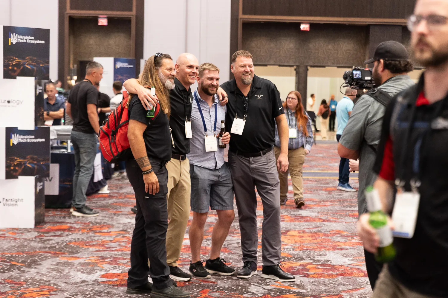
Time to party! Join friends and colleagues for the opening of the Exhibit Hall floor at the Welcome Reception! Check out the latest UAS solutions, chat with vendors, and make new connections at this ever-popular event.
Pilot Hub
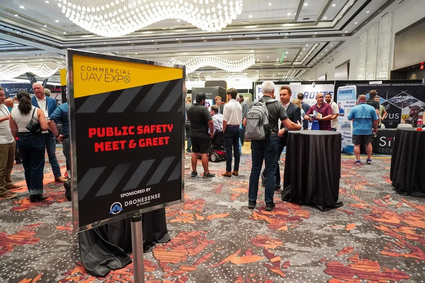
Join colleagues from law enforcement, public safety, and related fields for a casual meet and greet, sponsored by DroneSense by Versaterm. At 6:00 PM, join us for a welcome and presentation from DroneSense by Versaterm.
Indoor Airspace Demo Area
Level Up Lounge
Is it your first time attending Commercial UAV Expo? Stop by the Level Up Lounge during the Welcome Reception to network with other commercial drone professionals and members of the Commercial UAV Expo team – we’re here to help! Free career consultations from Global Air U will be available to help you make the most of your experience!
Pilot Hub
David Spraggs, Manager of Customer Success at DroneSense by Versaterm